Tuesday 28 November 2006

CITY MAP

Re: mapping the the city

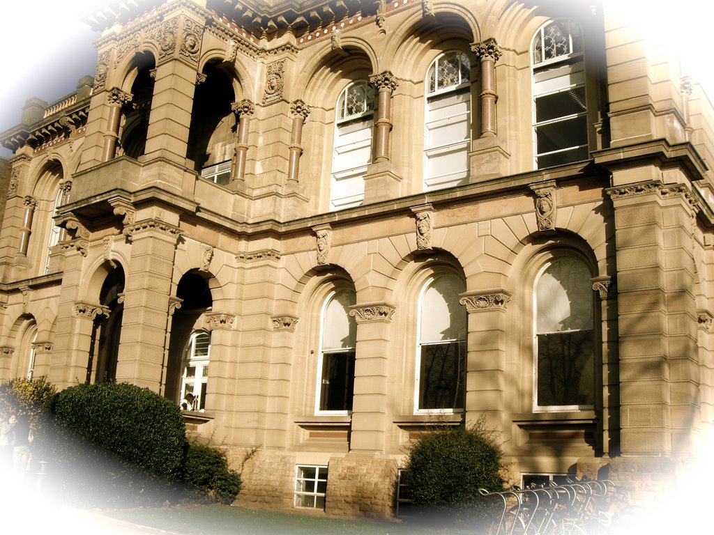
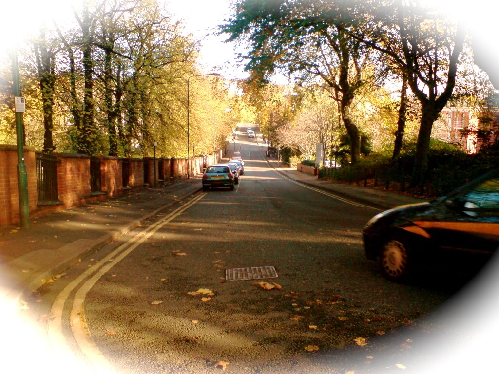
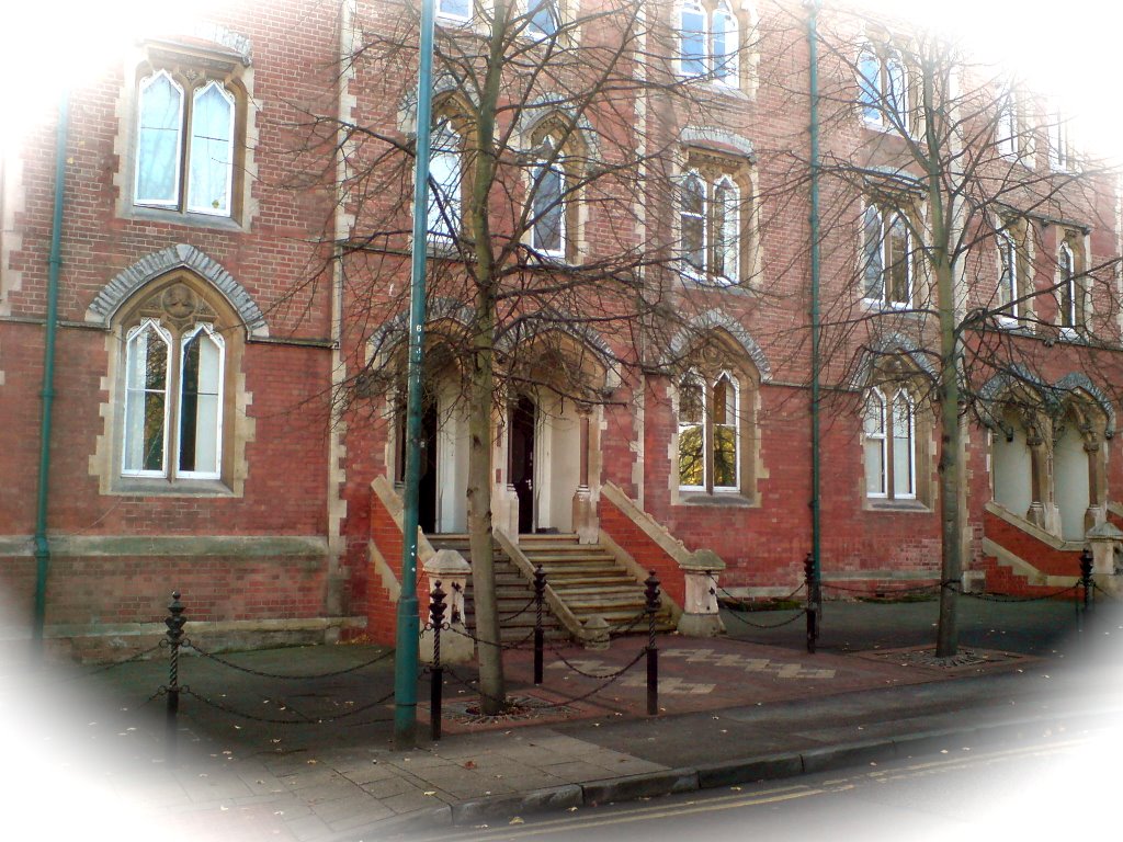
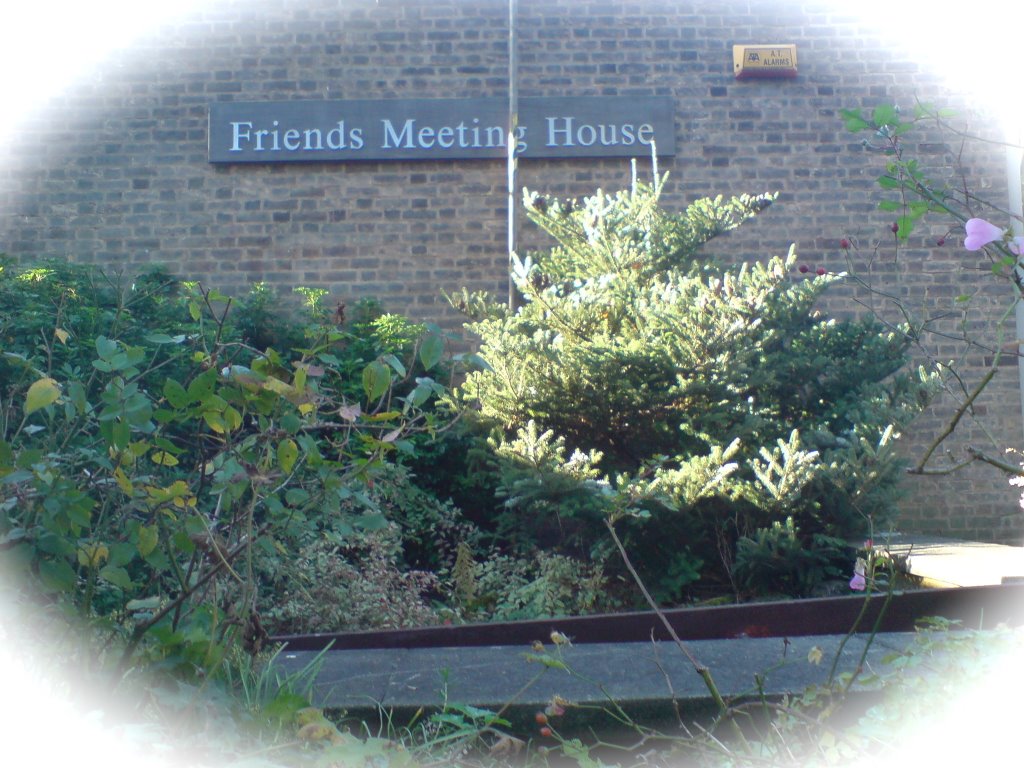
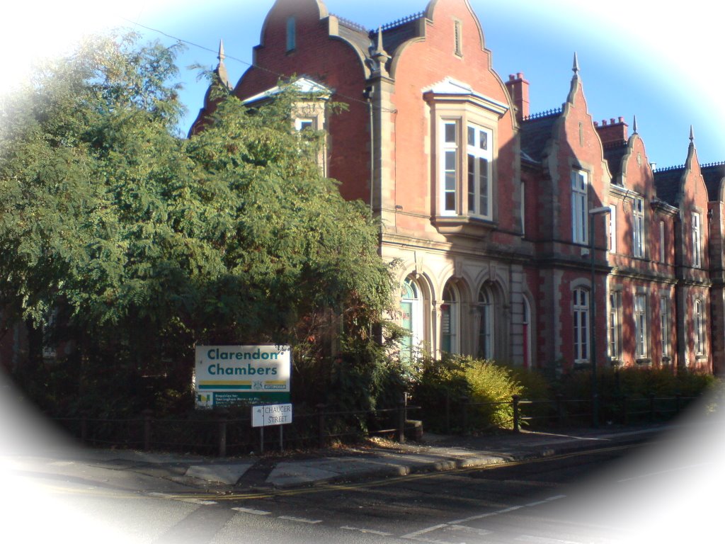
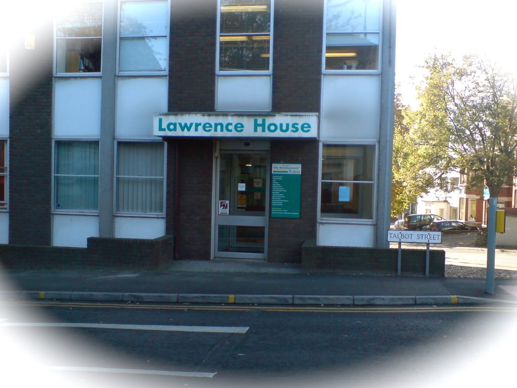
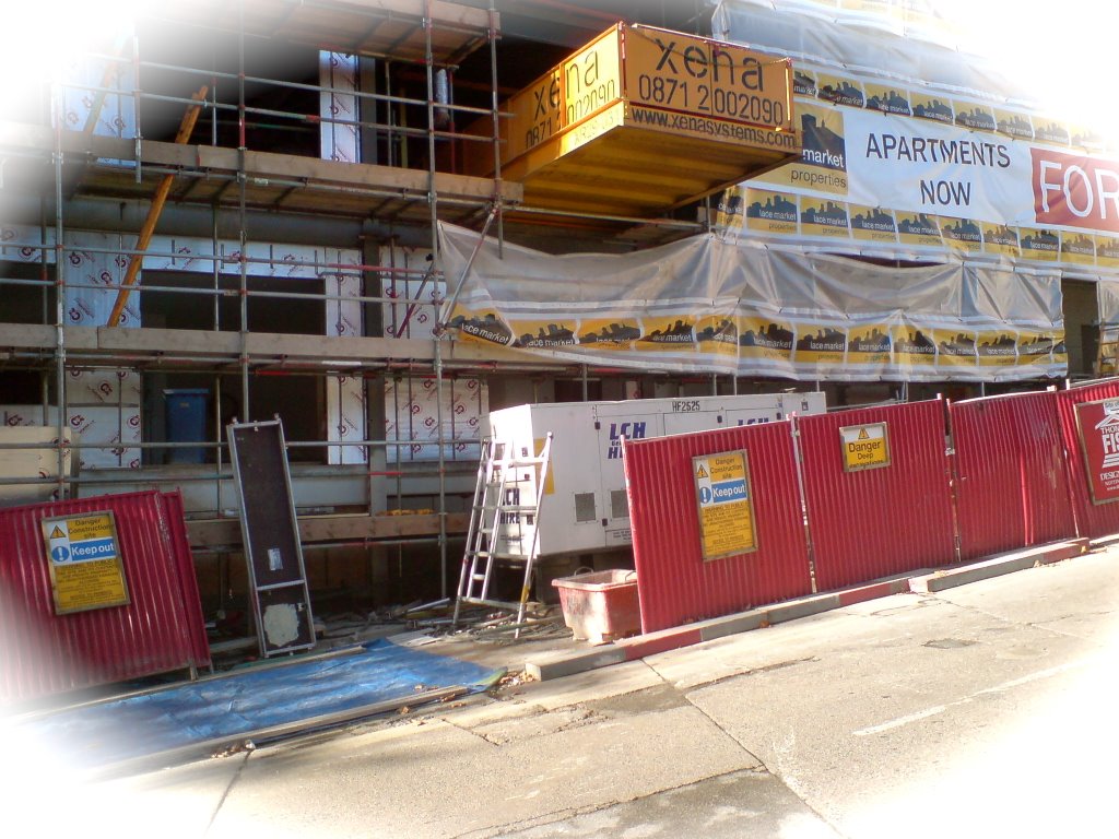
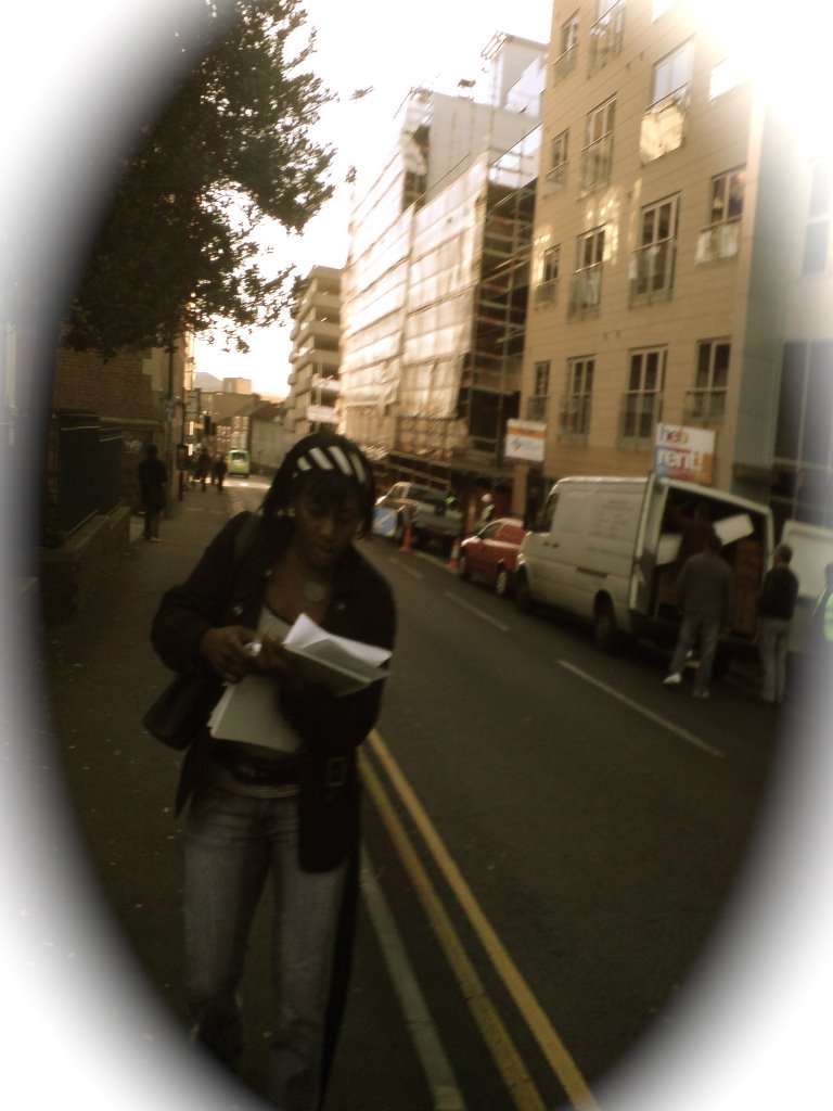
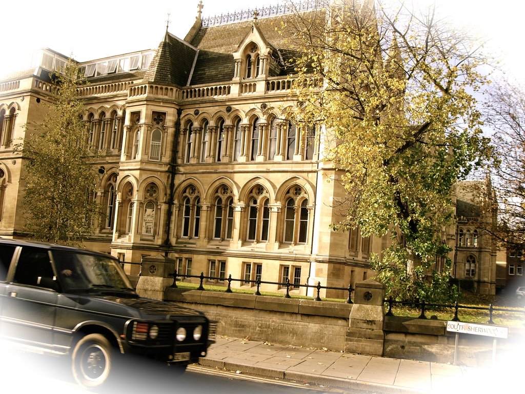
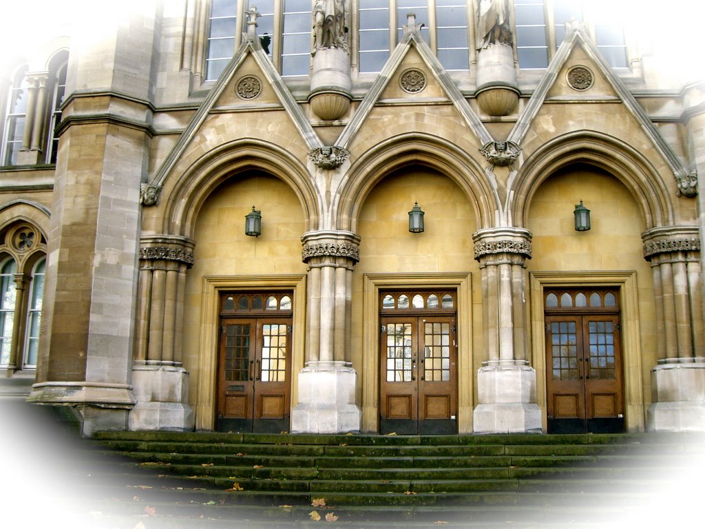
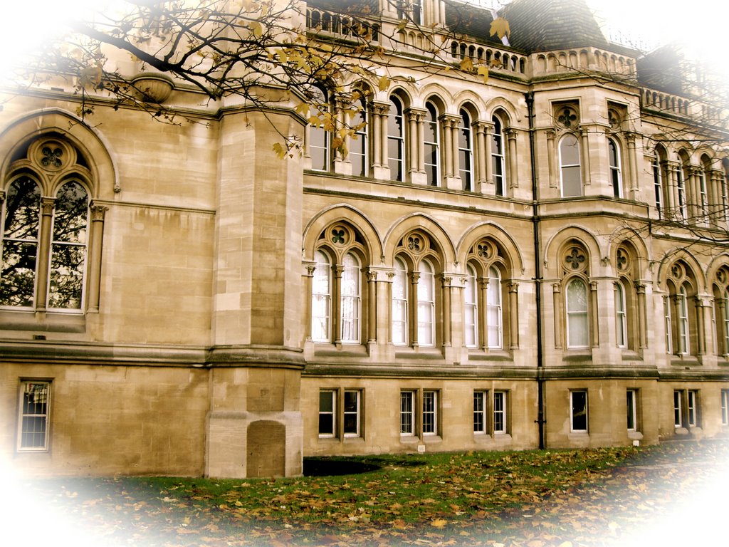
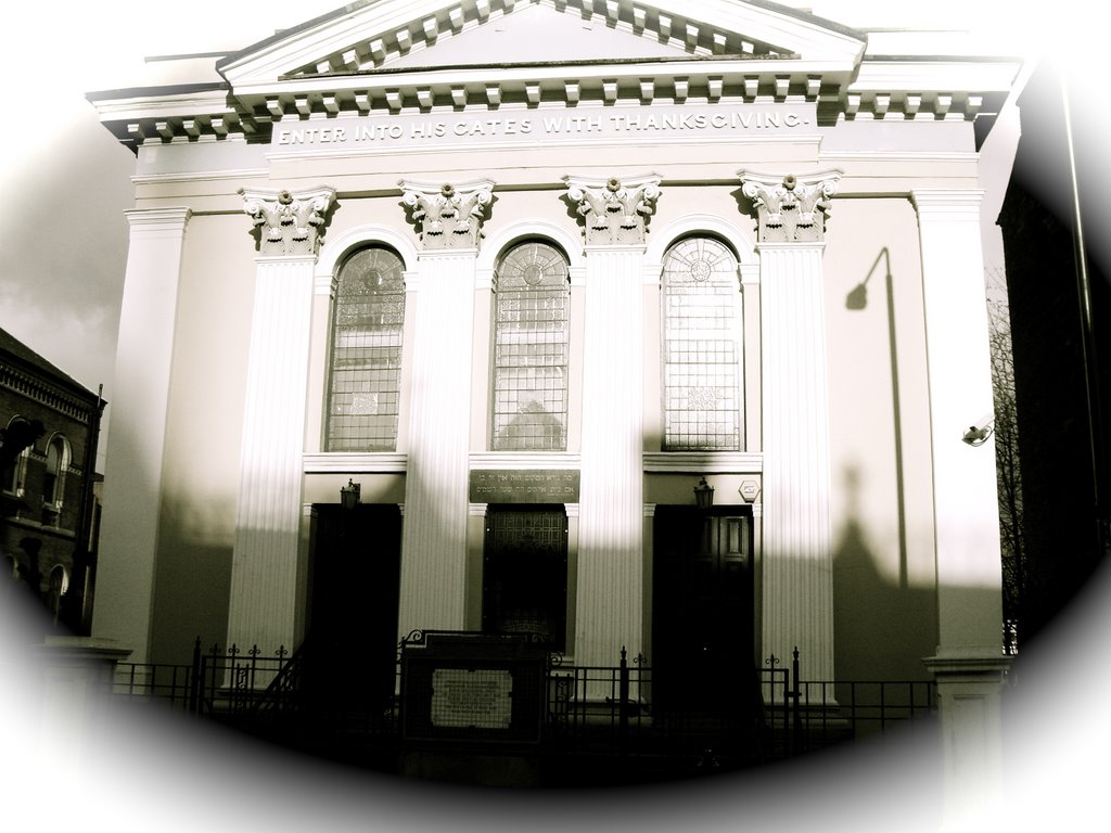
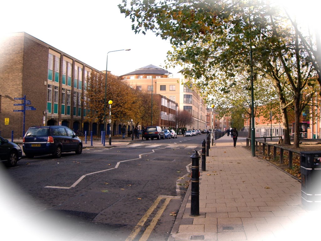
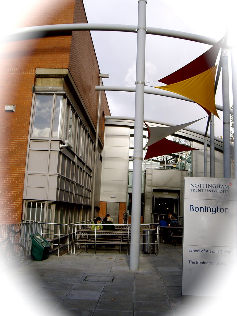
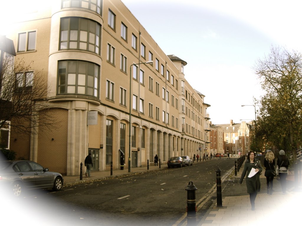
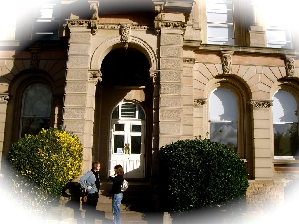
A group of three of us spent an hour drifting around the City using a random code. I took Photographs of the entire journey. At each major point( that is , when one cycle of our system is is completed) we need to stop & observe the city space using our senses and make a note of what we can see, hear touch, feel & smell.

In our groups we will design a map of our journey, the map will reflect-the spirit of the psycho-geography i.e. as a playful alteration of the urban environment.

Journey begins at the WAVERLEY BUILDING

Opposite the WAVERLEY BUILDING

The corner of CLARENDON STREET

FRIENDS MEETING HOUSE on CLAREDON STREET

CLARENDON CHAMBERS at the CORNER of CHAUCER

LAWRENCE HOUSE at the corner of TALBOT STREET

ROAD SWEEPER on TALBOT STREET

CONSTRUCTION SITE down TALBOT STREET

Walking towards the CITY

TRENT UNIVERSITY on SHAKESPEARE STREET

Front view of the TRENT UNIVERSITY

Side view of the TRENT UNIVERSITY

JEWISH SYNAGOGUE opposite TRENT UNIVERSITY

Walking towards the BONNINGTON BUILDING

BONNINGTON BUILDING

Near BOOTS LIBRARY

Finished journey & back to WAVERLEY BUILDING